
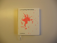

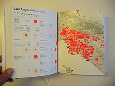
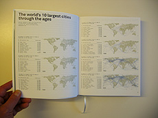
Metropolitan world atlas by 010 Publishers collected data about major cities on earth. All main data are displayed through graphics, so as the variation of those main cities over time, in particluar the increase of exchanges between them (communication, transportation by car, plane, boat, etc.). It is definitely a good source to speak about a global urban network and about the mobility or communication within this it.
Vía Sketchblog
Metropolitan world atlas
![]()
Suscribirse a:
Enviar comentarios (Atom)


No hay comentarios:
Publicar un comentario